

Explore different bays and
cities of Lake Minnetonka
GALLERY
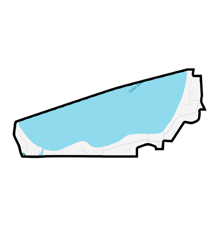
Black Lake
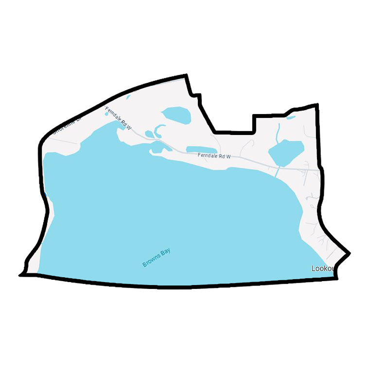
Browns Bay
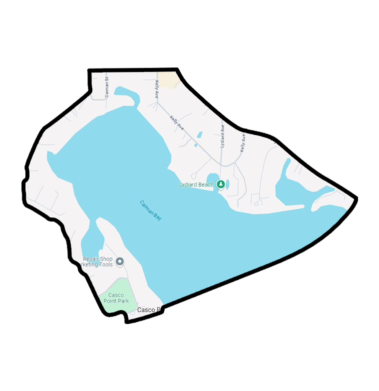
Carman Bay
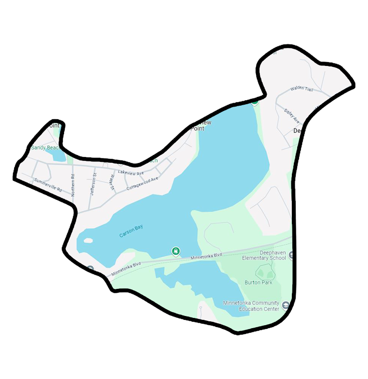
Carson Bay
Coffee Cove
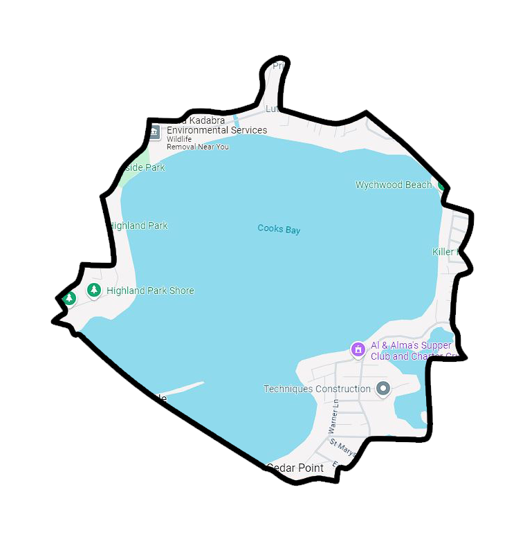
Cooks Bay
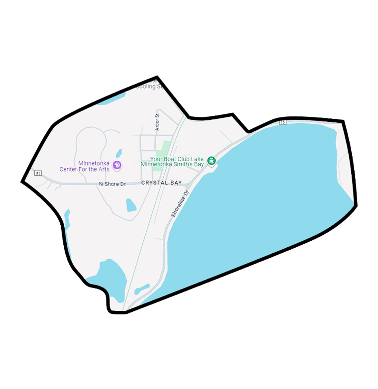
Crystal Bay
East Upper Lake
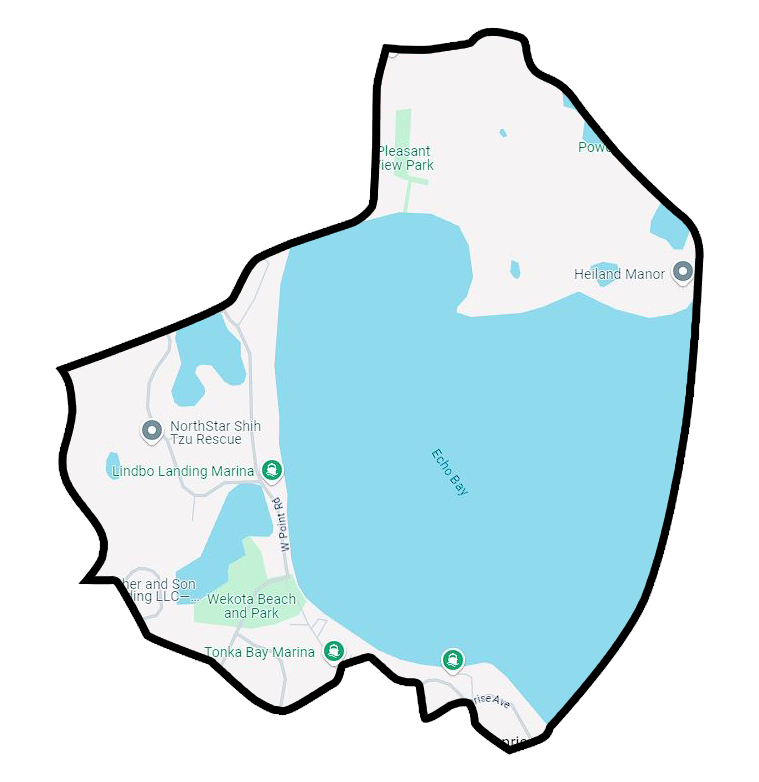
Echo Bay
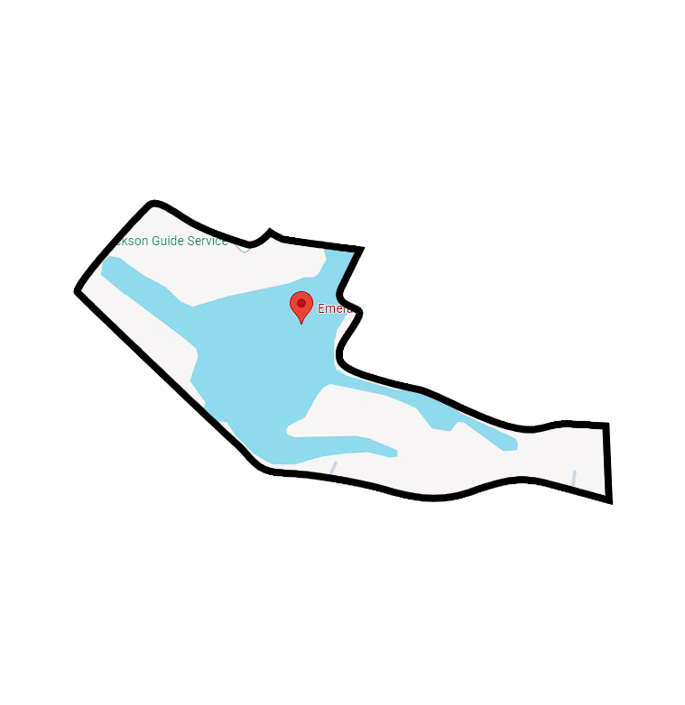
Emerald Lake
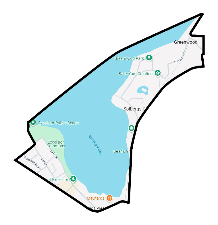
Excelsior Bay
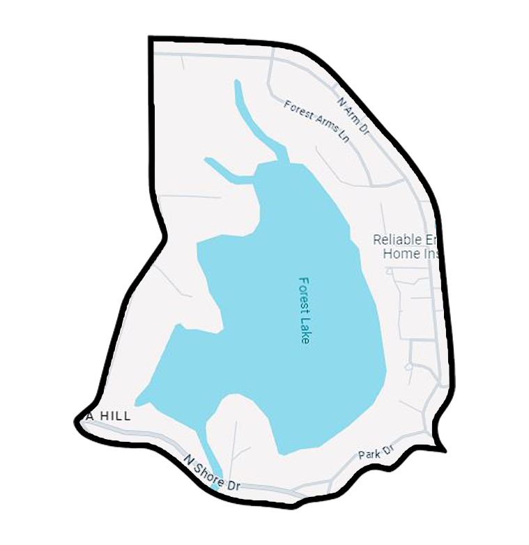
Forest Lake Bay
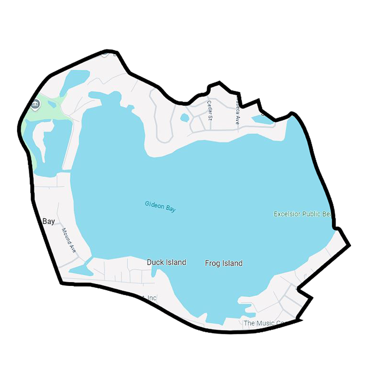
Gideon Bay
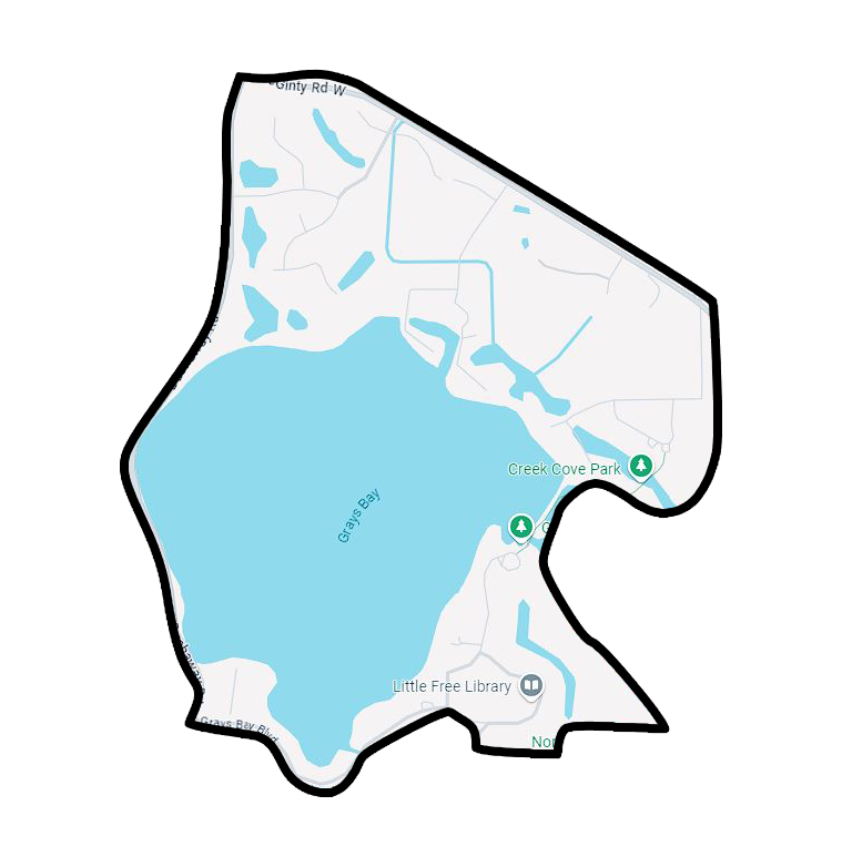
Grays Bay
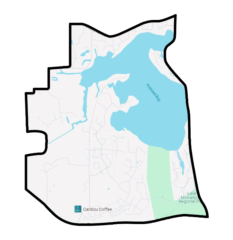
Halsted Bay
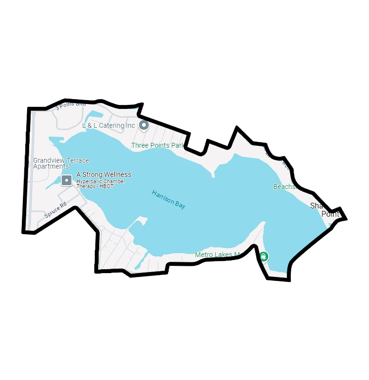
Harrisons Bay
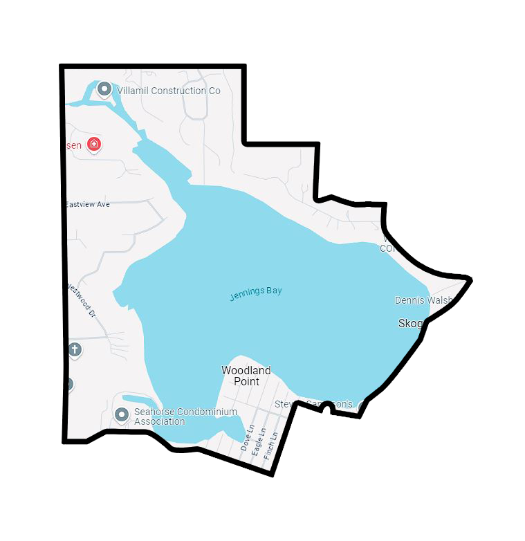
Jennings Bay
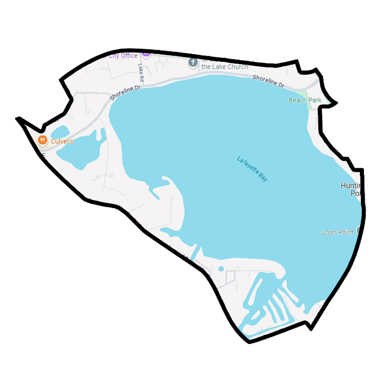
Lafayette Bay
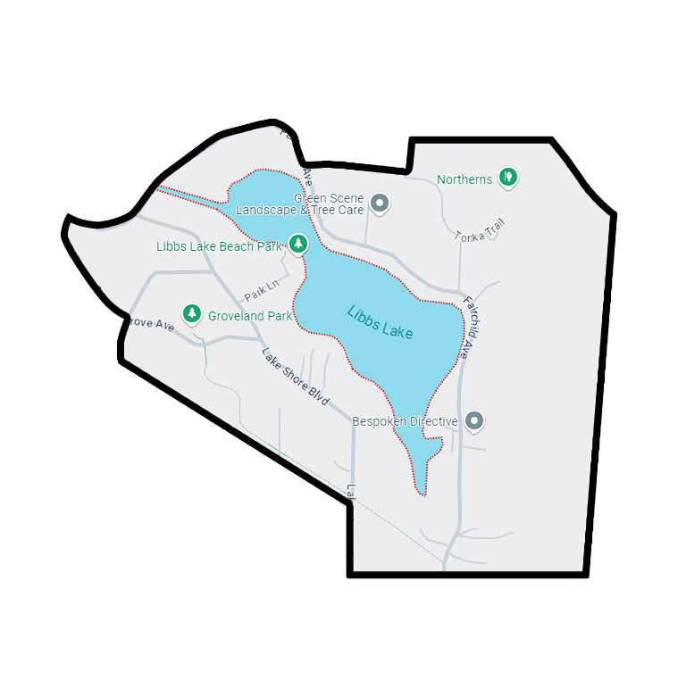
Libbs Lake
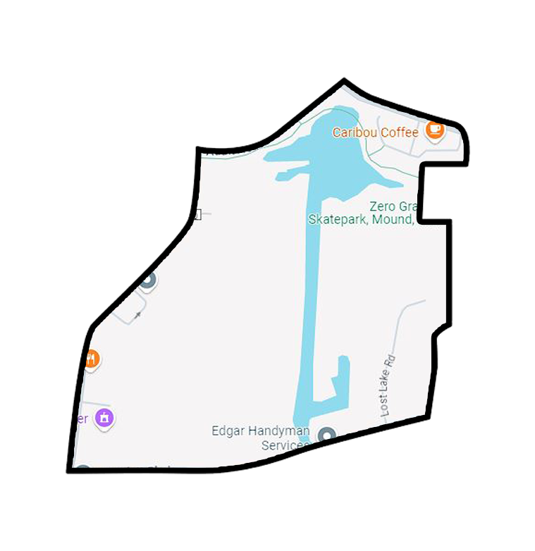
Lost Lake Bay
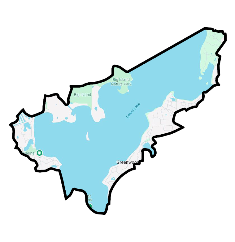
Lower Lake South
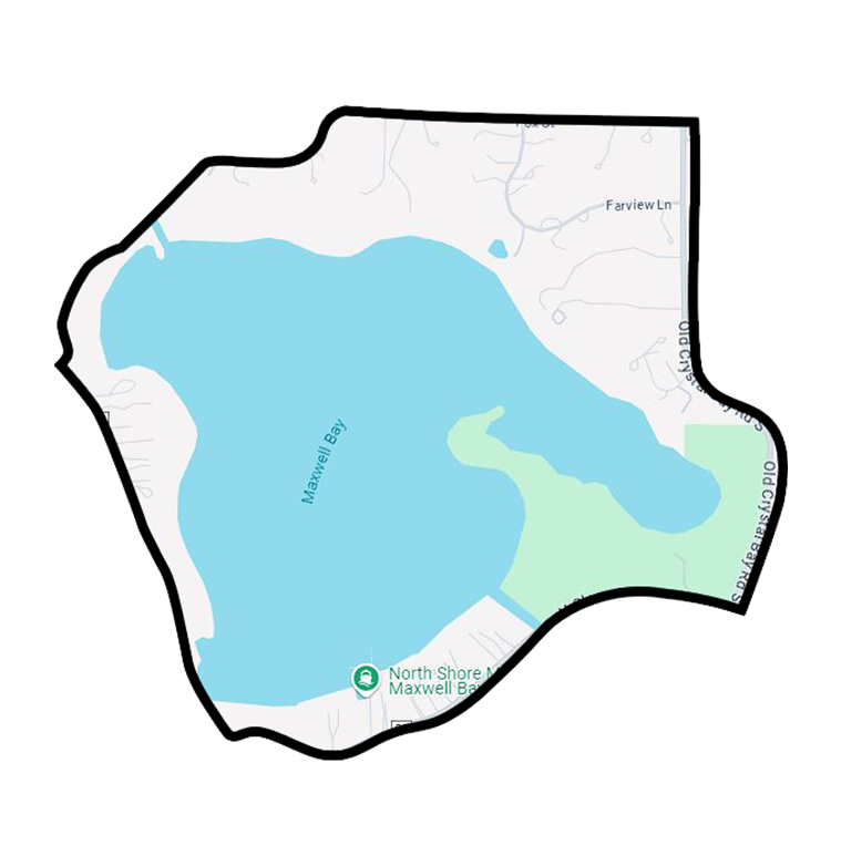
Maxwell Bay
North Arm
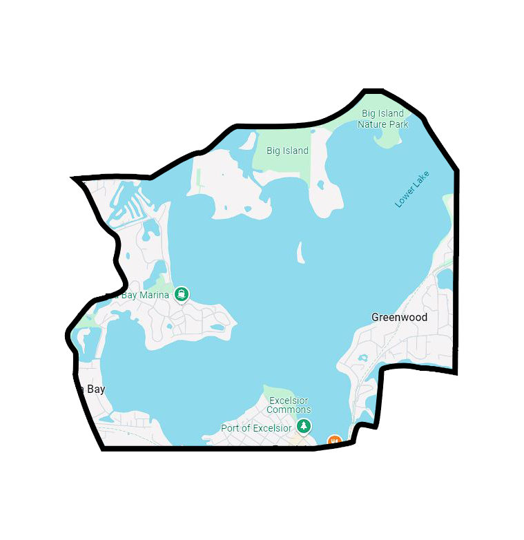
North Lower Lake East Half
North Lower Lake West Half
Old Channel Lake
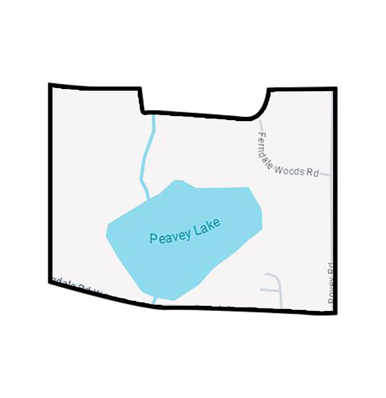
Peavey Lake
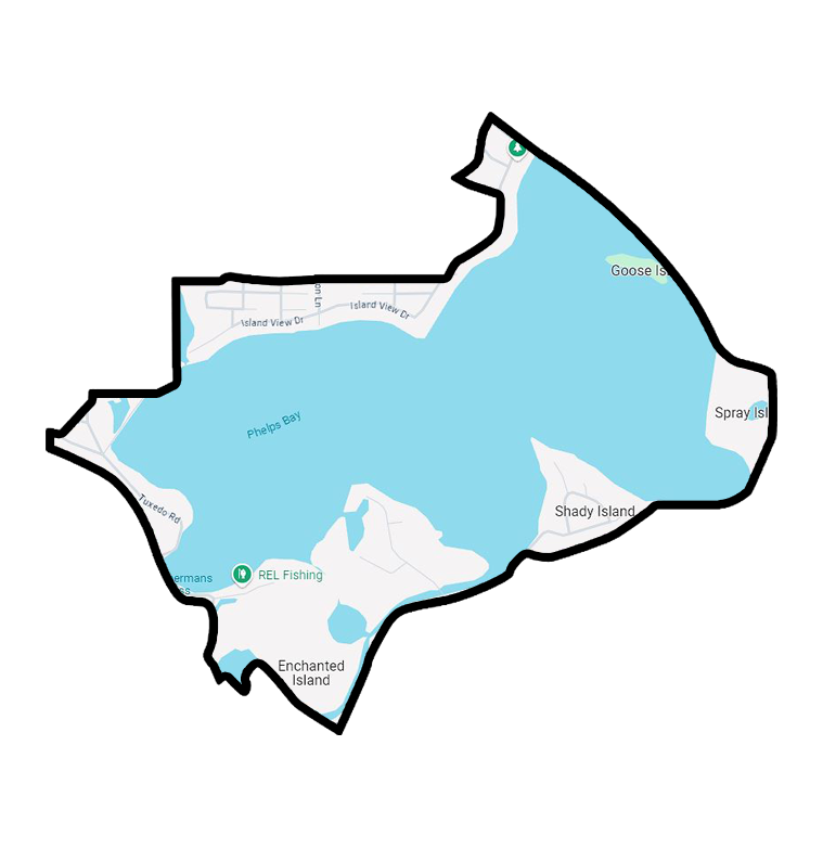
Phelps Bay
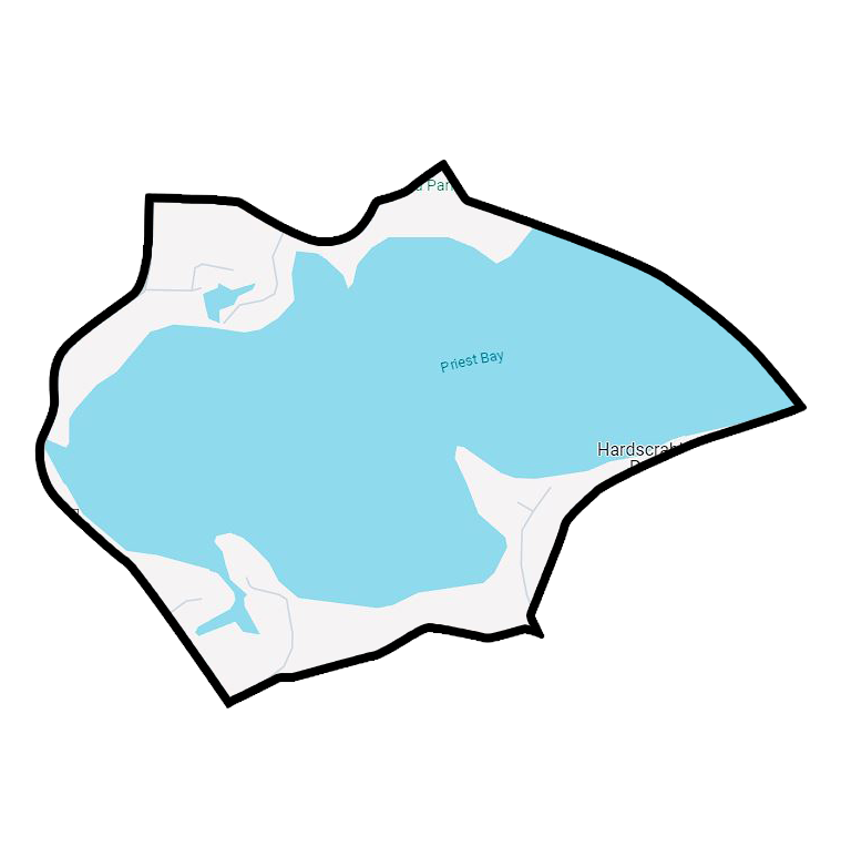
Priest Bay
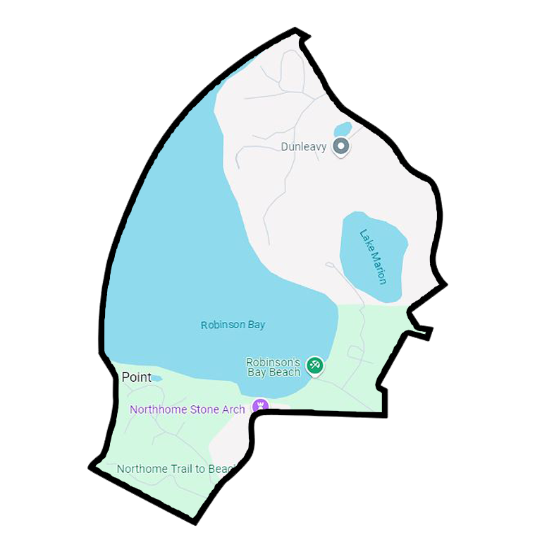
Robinson Bay
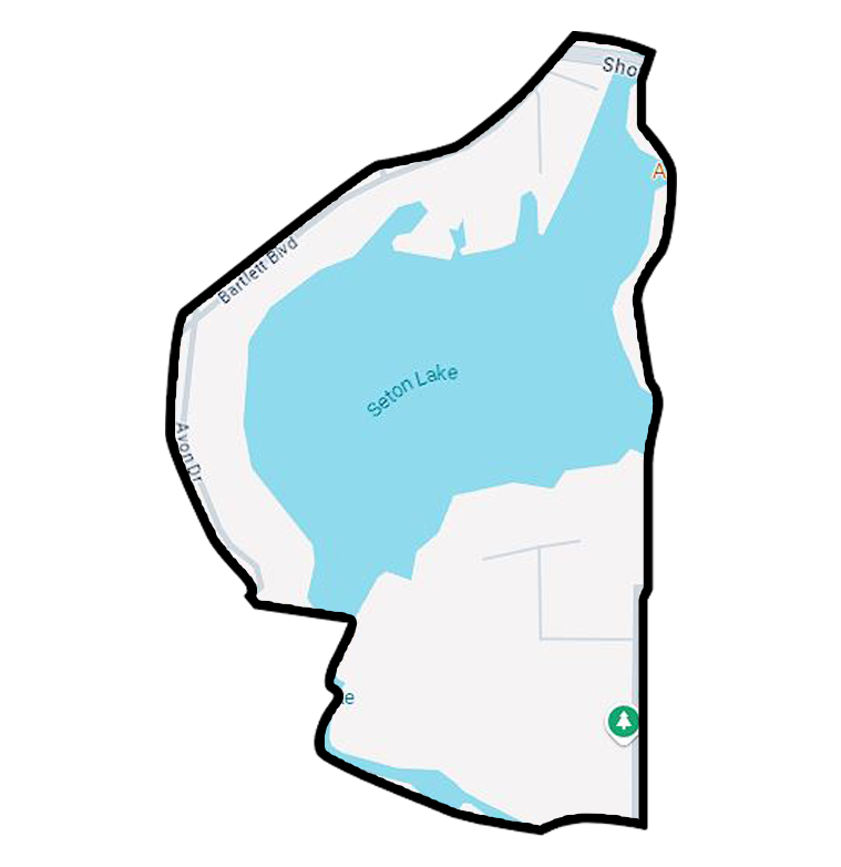
Seton Lake
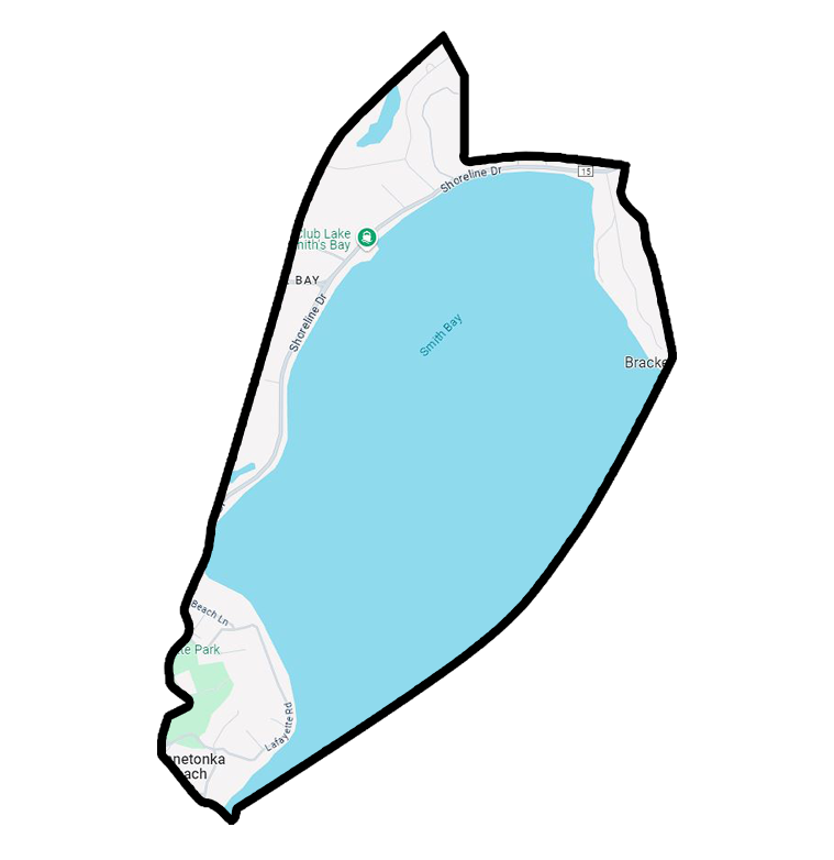
Smith Bay

Smithtown Bay
South Upper Lake

Spring Park Bay
St. Albans Bay
St. Louis Bay
Stubbs Bay
Tanager Lake
Wayzata Bay
West Arm
West Upper Lake
Woosley Pond
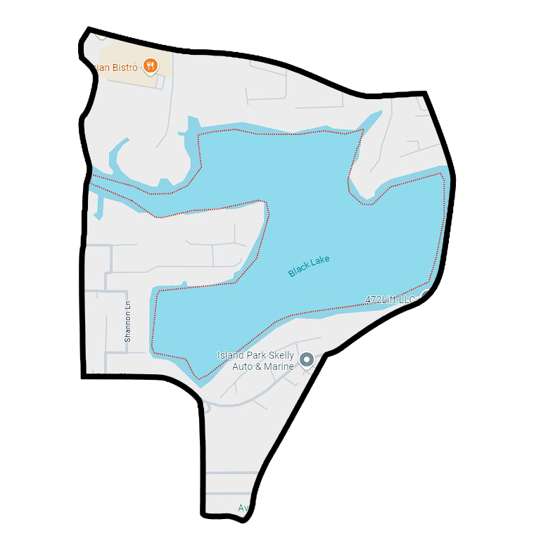
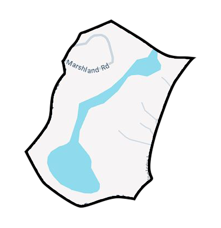
Black Lake
Location Highlights
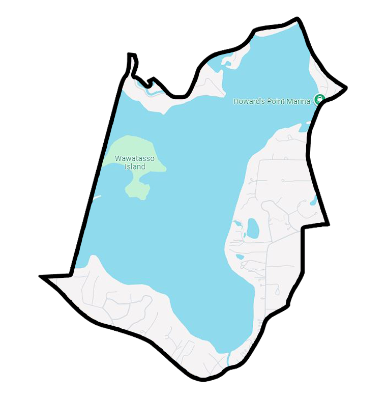
Black Lake is nestled between Spring Park and Seton Lake, near the heart of Mound, Minnesota. The lake is surrounded by homes in the Mound Westonka School District, making it an attractive location for families. Black Lake offers a quieter, more residential atmosphere compared to the larger Lake Minnetonka, yet it's just minutes from some of the lake's key spots like Wawatasso Island and Crane Island. Crane Island, a historic site known for its charming summer cottages, dates back to the early 20th century and is a hub for vacation homes and historical intrigue.
Water Quality
With a maximum depth of 27 feet, Black Lake maintains a moderate water quality rating of C, as evaluated by the Minnehaha Creek Watershed District. The lake's calm waters are ideal for swimming and leisurely boating, especially in the latter part of the season when conditions are most favorable.
Boating Restrictions
Black Lake operates under a no-wake policy, making it perfect for peaceful boating experiences without the disruption of speeding boats or large wakes.
Lake Access
The bay lacks public marinas or boat launches, making it a more secluded and serene spot for residents and boat owners. Those who do have access can dock their boats here, enjoying the calm atmosphere that the no-wake zone provides.
Amenities
Black Lake is a haven for fishing enthusiasts. Anglers can expect to catch a variety of species, including Largemouth Bass, Sunfish, Northern Pike, and Walleye. The lake's no-wake zone enhances the experience by providing undisturbed waters perfect for casting a line. Additionally, the nearby Seton Channel offers a fun, convenient escape to Back Channel Brewing Co., a dog-friendly spot popular with boaters in the area.